
By Simeon OSAJIE
The Geo-Information Society of Nigeria (GEOSON), Edo State Branch, has committed to collaborate with Edo State Geographic Information Service (EdoGIS) to strengthen and advance institutional and geospatial development in the State in the interest of all stakeholders.
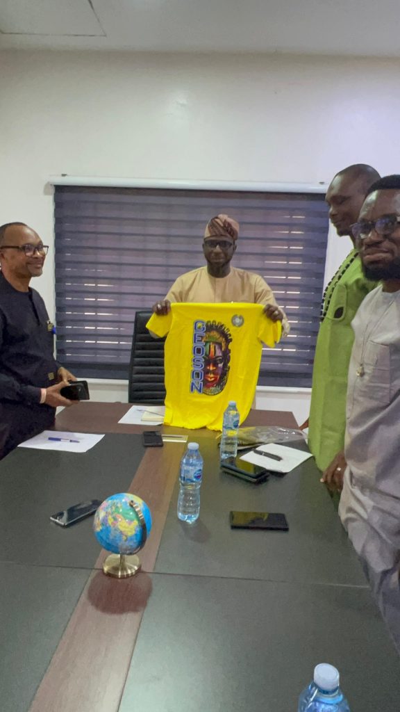
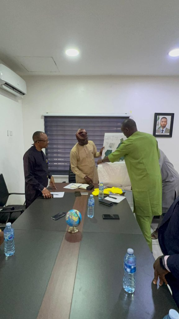
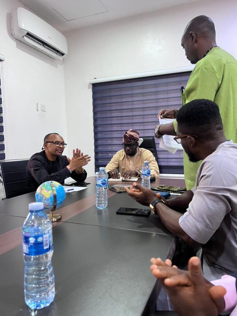
This came to the fore when executive members of GEOSON led by its Chairman, Surv. Ezekiel Eromosei paid a courtesy visit on the Managing Director, EdoGIS, Dr. Innocent Ehi Bello to congratulate him on his recent appointment and foster ways and means of collaboration with EdoGIS.
Dr. Bello while welcoming the guests, went down memory lane to reflect on his own membership of the Society spanning decades, and commended GEOSON for its commitment to the advancement of the geospatial profession in the State but not without tasking the professional body on the need to correct some observable ills in the profession.
The MD expressed a positive disposition toward the proposed collaboration; underscored the importance of strategic partnership among stakeholders and pledged EdoGIS support for the Society’s activities.
Notably, he assured of a venue for GEOSON meetings in the Agency’s premises and encouraged the Society to prepare a formal Memorandum of Understanding (MoU) to strengthen the relationship between both organisations.
Earlier, the GEOSON Chairman, Surv. Eromosei Ezekiel said the visit was aimed at strengthening collaboration between both organizations and to explore opportunities for advancing geospatial development in Edo State.
Eromosei congratulated the new EdoGIS MD on his appointment and thanked him for the audience. He expressed the Society’s willingness and readiness to collaborate with the MD to move the Agency to greater heights.
Surv. Eromosei gave a detailed overview of GEOSON’s activities and contributions to the promotion of Geographic Information Systems (GIS) and other geospatial disciplines in Edo State.
He highlighted the Society’s aspirations, to include collaboration with EdoGIS in hosting its oncoming Benin City GIS Day 2026, increased membership participation by EdoGIS staff; capacity building and development programmes; School and University outreach initiatives and enhanced public awareness of geospatial technologies.
He also highlighted challenges facing the Society, notably, limited access to meeting venues and financial constraints.
The GEOSON chairman further proposed several areas of mutual cooperation between both organizations including, the hosting of 2026 GIS Day, Institutional Support, data access and research collaboration, professional engagement opportunities for qualified GEOSON members, policy advocacy, and joint communication initiatives aimed at promoting geospatial development within the state.
He emphasized that a structured partnership would create significant benefits for both institutions and the wider geospatial community.
GEOSON requested the exchange of official communication channels, and a follow-up meeting to discuss key areas of collaboration.
The Society also proposed the development of a MoU to provide a formal framework for future engagements and psrtnerships.
The visit ended on a positive note with the presentation of suvenirs to the MD and a group photograph, marking the beginning of what promises to be a mutually beneficial partnership between GEOSON and EdoGIS.